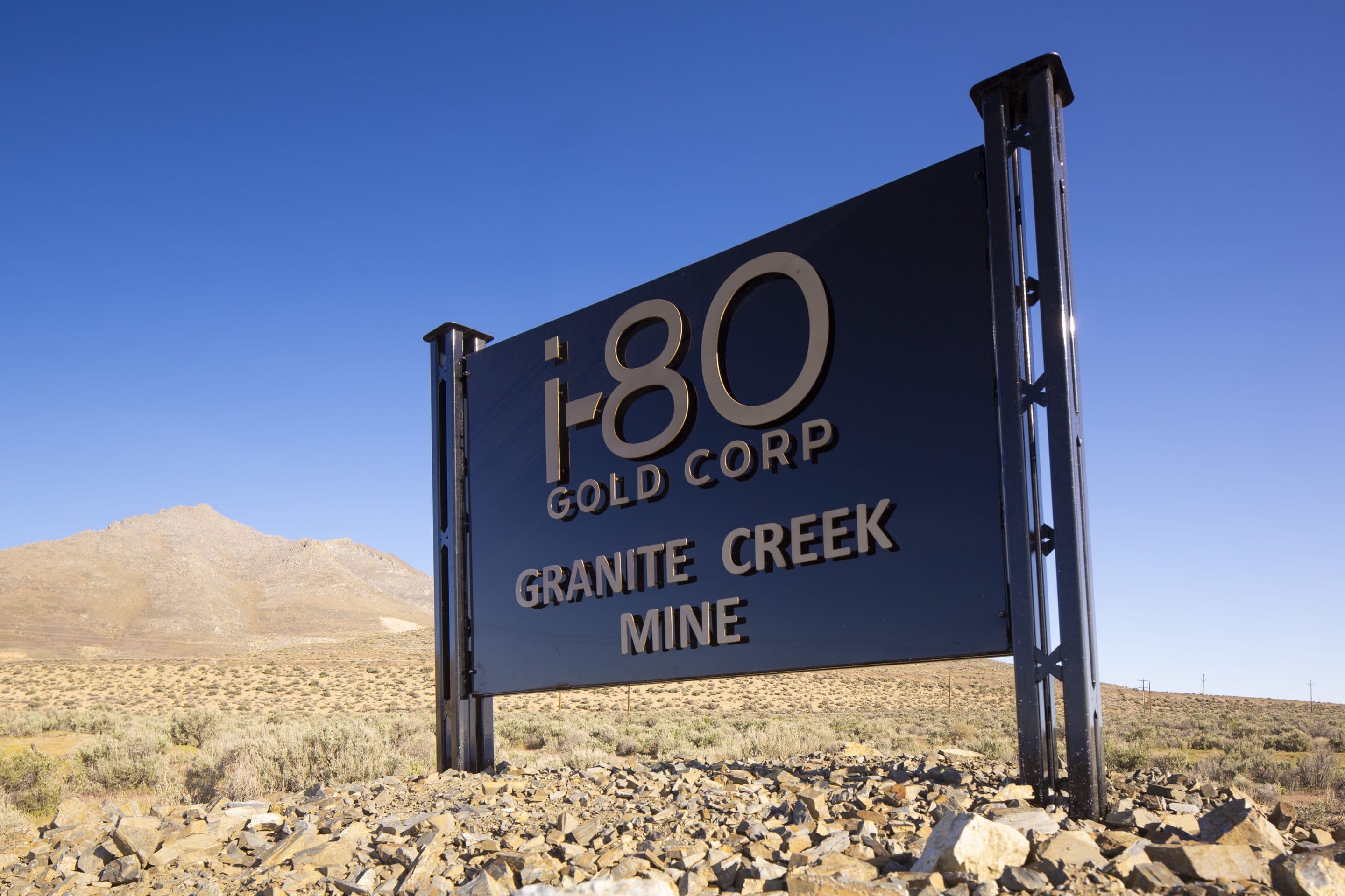
granite creek
underground
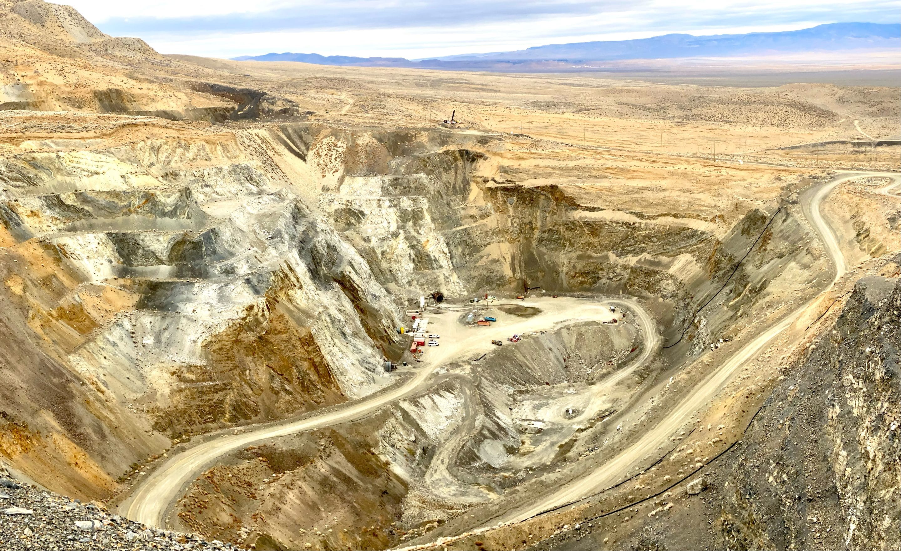
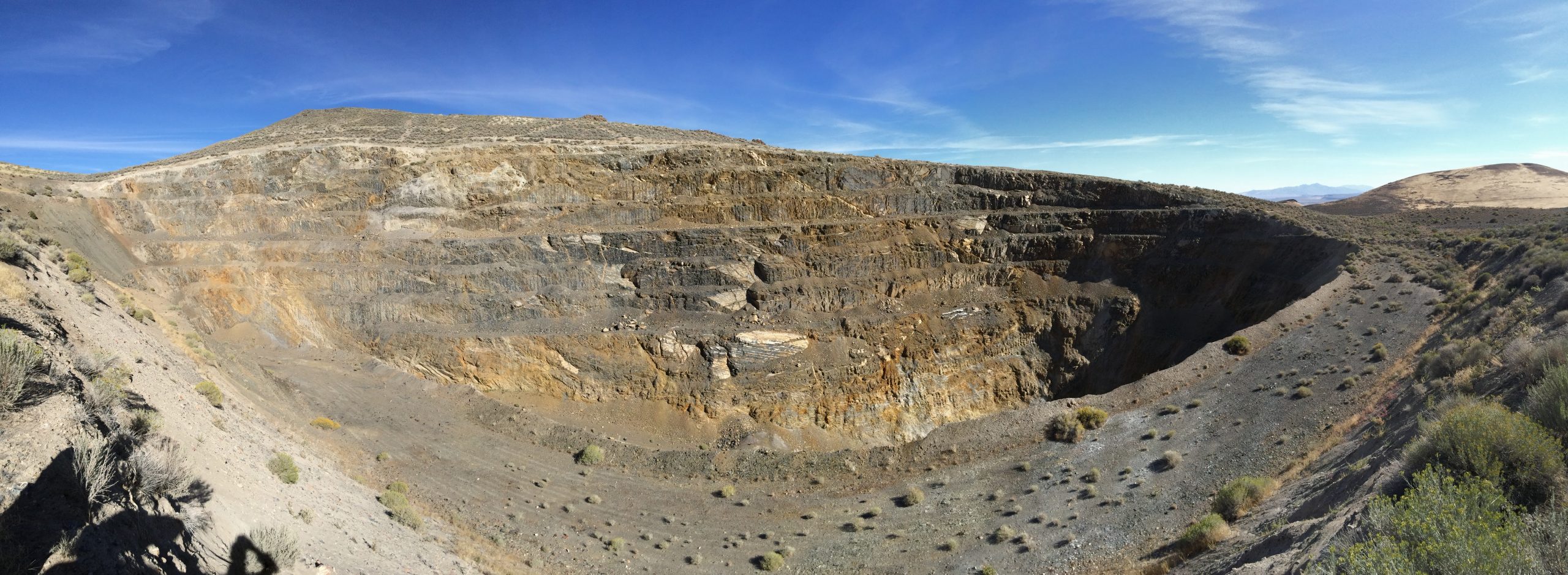
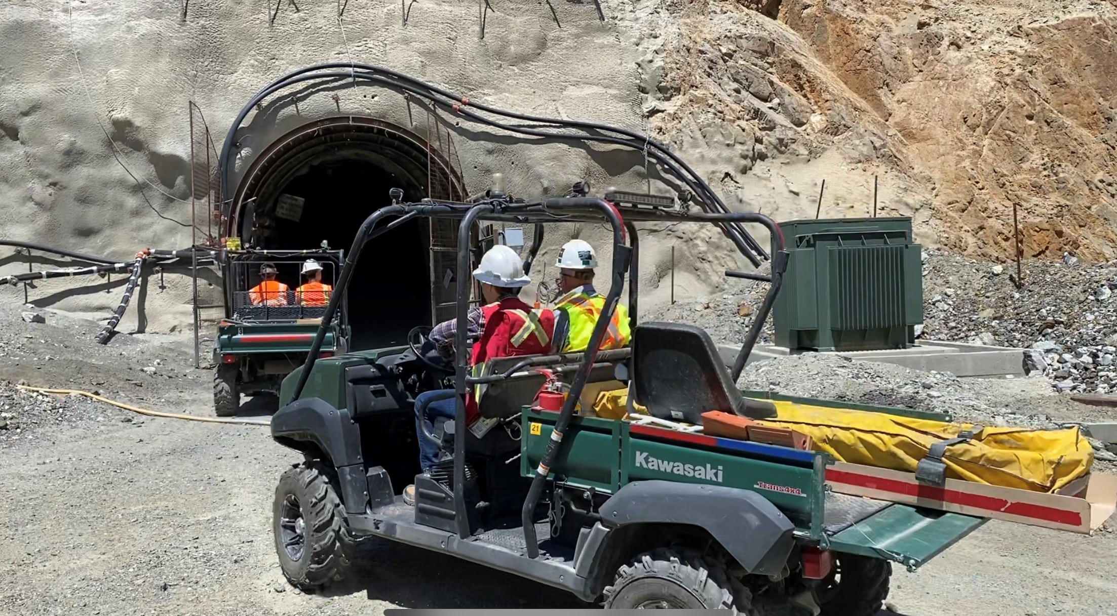
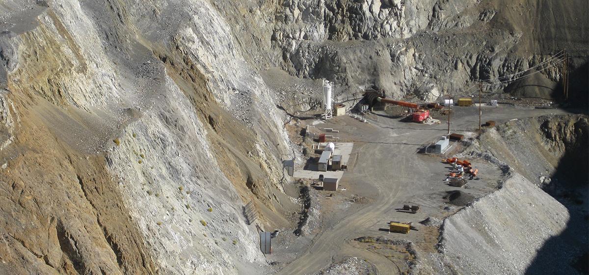
The Granite Creek property includes the Granite Creek underground project, a fully permitted, constructed and operating mine and the Granite Creek open pit oxide deposit adjacent to the underground project, currently in early-stage permitting and technical work. Granite Creek underground is the Company’s first brownfield project to be redeveloped and is currently ramping up towards steady-state gold output. The Granite Creek Poprerty is located at the intersection of the Getchell and Battle Mountain Trends proximal to Nevada Gold Mines’ Twin Creeks and Turquoise Ridge mining operations. The project hosts both high grade open pit and underground mineral resources that remain open for expansion.
QUICK FACTS
OWNERSHIP
100% i-80 Gold Corp.
LOCATION
Getchell Trend – Northern Nevada
STATUS
Operating – Ramping up to steady state
M&I MINERAL RESOURCES
775 kt @ 10.5 g/t Au for 261 koz
INFERRED MINERAL RESOURCES
782 kt @ 13.0 g/t Au for 326 koz
MINING STYLE
Underground (cut-and-fill)
NEXT UPDATE
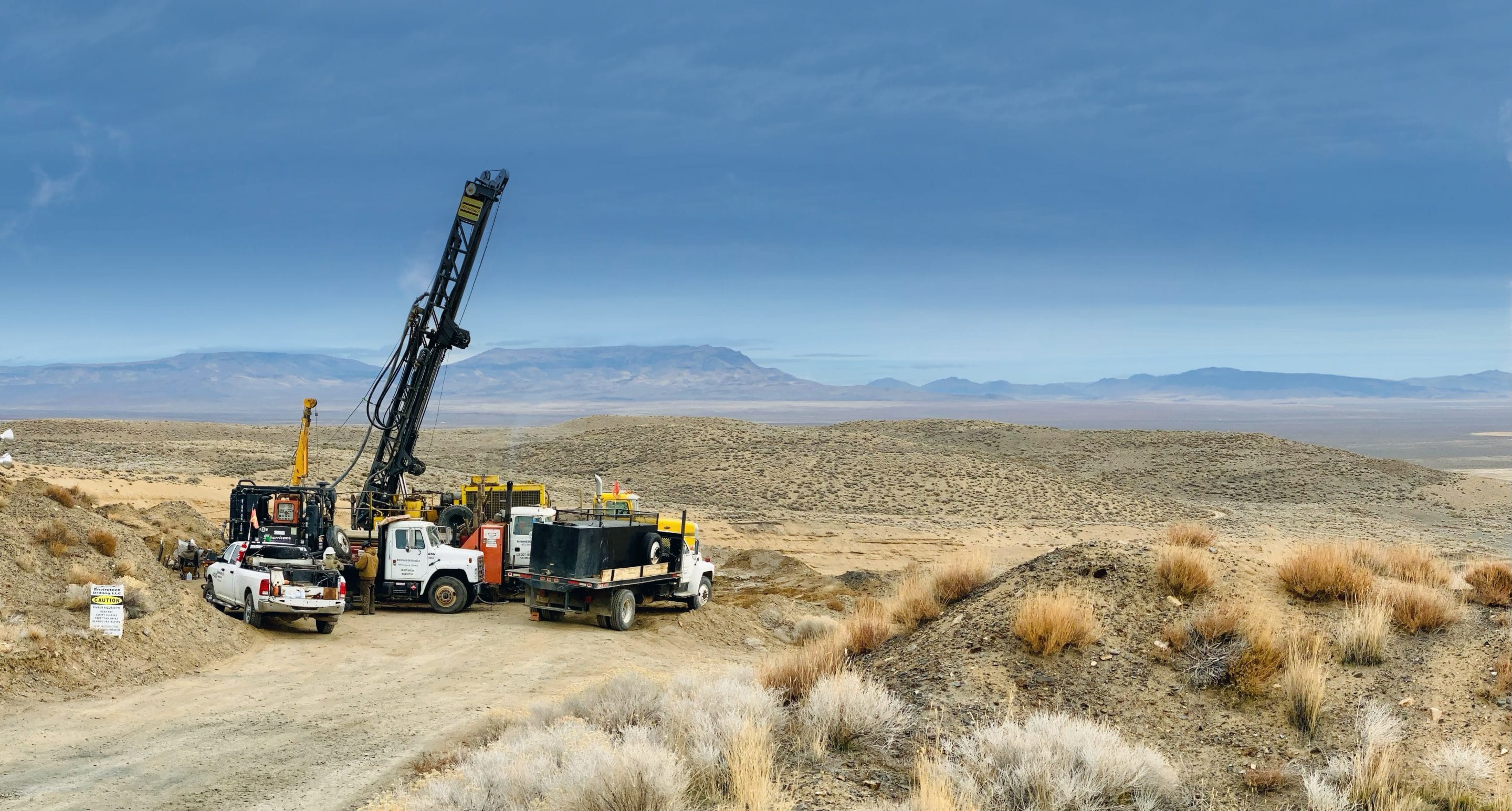
Q2 2026 – Feasibility Study
TECHNICAL REPORTS
![]() S-K 1300 Initial Assessment of the Granite Creek Mine, Humboldt County, NV (March 2025)
S-K 1300 Initial Assessment of the Granite Creek Mine, Humboldt County, NV (March 2025)
GEOLOGY
The Granite Creek Project is in the Potosi mining district, approximately 43km northwest of Winnemucca, NV. The property sits on the eastern flank of the Osgood Mountains near the intersection of the northeast-trending Getchell trend and the northwest-trending Battle Mountain trend.
Mineralization at Granite Creek is carlin-style, similar to nearby deposits at Turquoise Ridge and Twin Creeks. Since 1980, the property has produced nearly one million ounces of gold, primarily from the CX, Mag, and Range Front Zones that are all located in the hanging wall of the east-dipping Range Front fault of the Osgood Mountains.
The primary host rocks are interbedded shale, siltstone, and limestone rock units of the Ordovician Comus Formation with lesser mineralization in shales and limestones of the underlying Cambrian Preble Formation. Mineralization controls include inverted reverse faults, Cretaceous dikes, and favorable host rocks. Relatively high-grade, underground, mineralization in the CX and Range Front Zones are found at intersections between fault zones and receptive portions of the lower Comus Formation. Mineralization is primarily sooty, fine-grained pyrite with gold hosted in arsenic-rich rims. Altered rocks are commonly decarbonatized, argillized, and silicified.
| Title | Address | Description |
|---|---|---|
GRANITE CREEK | Unnamed Road, Golconda, NV 89414, USA |
IMAGE GALLERY